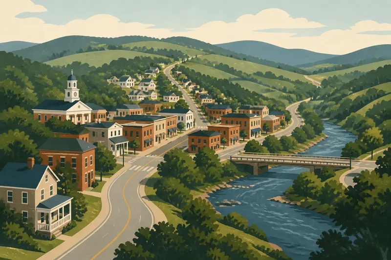
Before the Highway: The Changing Role of the Main Street
Before the highway, the main street often joined trade, travel and civic life. Learn why its role changed differently from town to town.
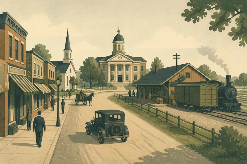
The common mistake in reading a Southern main street is to assume the highway took its job away in one clean sweep. That can make a town’s history look simpler than it was, and can hide the older reasons its shops, courthouse, depot or church stood where they did. Before the highway, the main street was often a working route as much as a place to shop; its role changed as travel and settlement patterns changed, but not on one schedule.
What did a main street do before highways?
Before modern highways reshaped regional travel, a main street often gathered several kinds of activity along a route people already used. Depending on the town, it might connect a landing, rail depot, courthouse, market, mill or crossroads. Stores and services clustered there because customers, travelers and local business passed through.
That did not make every main street a grand commercial avenue. In a county seat, the courthouse might give the street a civic center. In a railroad town, a depot could pull trade toward the tracks. Elsewhere, the street might simply follow an older road between farms and a river crossing. The name “main street” can describe a town’s central business district without identifying a single, uniform historical pattern.
Stores sold goods people needed, while hotels, livery stables, banks, newspapers, doctors’ offices and cafes served visitors and residents. The same block might also host a post office, meeting room or public notice board. Business and civic life overlapped because the street put people within walking distance of one another.
Why did the courthouse, depot and stores cluster together?
Local geography and institutions shaped the arrangement. A courthouse drew people handling county business; merchants benefited from their presence. A depot brought freight and passengers, encouraging businesses to locate nearby. In some towns those centers stood close together. In others, tracks, water, terrain or the timing of settlement kept them apart.
Land ownership and the order in which buildings appeared mattered, too. A railroad company’s station could create a new business center beyond an older settlement. A courthouse might remain in its original square while commercial activity shifted toward a new road. The result could be two centers serving different purposes, not a single street rising and falling as one unit.
These differences are worth checking on the ground. A historic map, Sanborn fire insurance map where available, county atlas or local archive can help show where businesses, public buildings and transport routes sat in relation to one another. Compare the map with the surviving blocks, but treat gaps in the record cautiously: a blank space may reflect what was mapped, not everything that happened there.
How did railroads change the main street?
Railroads altered the movement of people and goods, but their effect depended on where a station stood and how the town connected to it. A depot near the existing business district could strengthen the main street. A station on the edge of town might draw shops and warehouses toward the tracks, creating a competing commercial strip.
Rail service also changed what merchants could stock and how far customers might travel for particular goods. Yet local roads still mattered for reaching the station, carrying produce and connecting farms to town. The railway did not simply replace the road; it added a new route to a system that residents already used.
Say a small town has a courthouse square several blocks from its depot. If freight handlers and shopkeepers begin operating near the tracks, the town may develop a second business cluster. The observable result to look for is not necessarily an abandoned square, but a division of functions: county business remains around the courthouse while shipping and some retail collect by the depot.
What changed when automobile travel became common?
Automobiles widened the area residents could reach without relying on a train schedule or a horse-drawn vehicle. Roads connected towns in new ways, and businesses responded to traffic, parking needs and access from outside the center. Where a road passed through the old business district, main street could continue to serve local and traveling customers. Where traffic bypassed it, the street could lose some passing trade without losing its civic role.
As roads improved, motels, filling stations, roadside restaurants and repair shops often favored locations with room for vehicles and easy access. Some settled along an existing street; others appeared on a newer road beyond the older blocks. The shift was gradual in many places, and the old center could remain busy for county offices, churches, schools, local shopping or community events.
“Before the highway” therefore does not mean before cars. Local roads and automobile travel existed before the large, controlled-access routes familiar today. The important distinction is whether through traffic continued to pass the central business district or was redirected around it. That change could affect storefronts and foot traffic, but its impact varied with the road network and the town’s economic base.
Why did highways affect towns differently?
A highway could bring customers close to a main street, send them around it or connect residents to larger shopping centers elsewhere. Its effects depended on the route’s position, the town’s size and the reasons people came there. A county seat with public offices might retain a steady local purpose even as retail shifted. A town whose trade depended heavily on travelers could face a sharper change if traffic moved elsewhere.
Nearby cities, industrial employers, agricultural markets and regional transport links also shaped the outcome. Some communities saw new roadside businesses grow alongside downtown shops. Others lost stores but kept churches, civic organizations and public services in the center. A vacant storefront alone cannot explain which pattern occurred; former uses, nearby institutions and changes in road access all matter.
For a useful local account, compare several kinds of evidence: business directories, old maps, newspaper advertisements, oral histories and the buildings that remain. Ask what people went downtown to do, which routes brought them there, and when another center began to draw activity. Memories can preserve details absent from official records, while maps and directories can help place those memories in context.
What should I look for on a Southern main street?
Begin with the relationship between the street and the town’s public institutions. Is the courthouse nearby, or does its square sit apart from the commercial blocks? Look for signs of a former depot connection, such as a surviving rail corridor, a station site or a street that once led directly to the tracks. Then notice how buildings meet the sidewalk: close-set storefronts may signal a different pattern of access than businesses arranged for roadside parking.
Check for evidence of more than one center. A depot district, courthouse square and later highway strip may all belong to the same town’s commercial history. Local libraries, county archives and preservation offices can hold maps or photographs that clarify when those centers developed. A building’s current use is not proof of its original role, so look for directory listings, signs, loading areas and records rather than relying on appearance alone.
When a source’s date or coverage is unclear, note that uncertainty instead of forcing a precise sequence. A street’s present-day quiet may reflect changed routes, changed industries or changes in where residents shop. Those causes can overlap, and the surviving landscape rarely explains them by itself.
What do readers ask about the main street’s history?
Was every main street a commercial center?
No. The label usually points to a central street or business district, but its importance varied with local institutions, transport access and settlement patterns. Some towns had several centers serving distinct needs.
Did the railroad create the town’s main street?
Sometimes rail access encouraged a new business district, especially where a depot attracted freight and travelers. In other towns, the railroad joined an older center or remained separated from it.
Did highways make downtowns disappear?
No single outcome followed. A route could pass through town, bypass it or lead residents toward commercial centers elsewhere, and downtown institutions could remain active even as retail changed.
How can I tell what a historic storefront used to be?
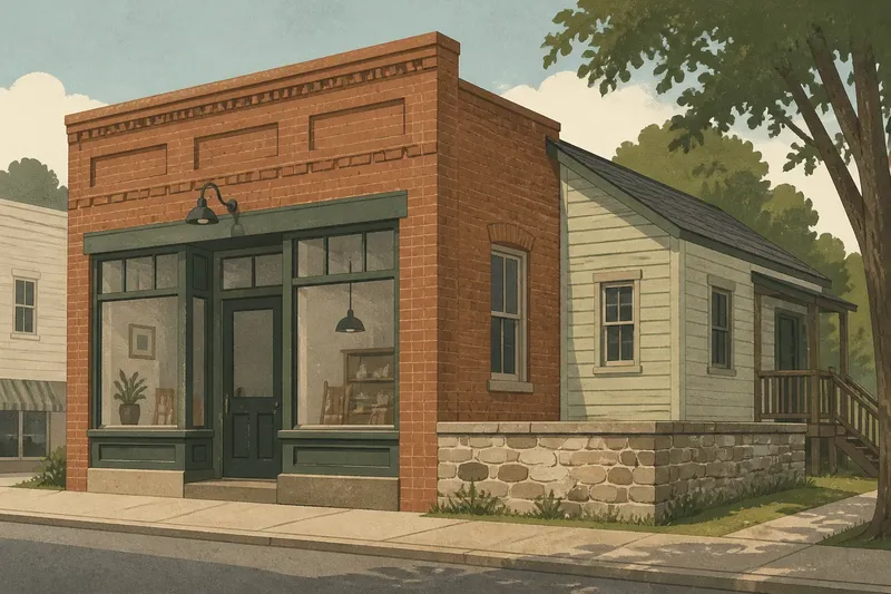
Compare local directories, maps, photographs and newspaper notices, then check the building’s position and surviving features. A storefront’s present appearance can suggest a use, but documentary evidence is more useful for confirming one.
What remains of the old civic role?
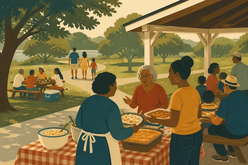
A main street’s importance is not measured only by the number of shops still open. County offices, churches, libraries, local organizations and public events may continue to draw people to the same blocks. In some towns, the street remains the place where residents encounter public life even after shopping and travel patterns have moved outward.
To understand the history of a Southern main street before the highway, follow the routes and institutions that brought people together, then ask what changed when those connections shifted. The most revealing clue may be a surviving gap between the courthouse and depot, a road that skirts the old center, or a public building that still gives the street a reason to gather. Those details show not a universal decline, but a local rearrangement of movement, commerce and civic life.